Cormorant

Cormorant

West Coast Commercial Fishing Intelligence

Years of commercial catch records, AIS vessel tracks, and port activity across California, Oregon, and Washington — organized for the working fisherman.

Free access during beta testing · No credit card required · Pro membership launching in late 2026
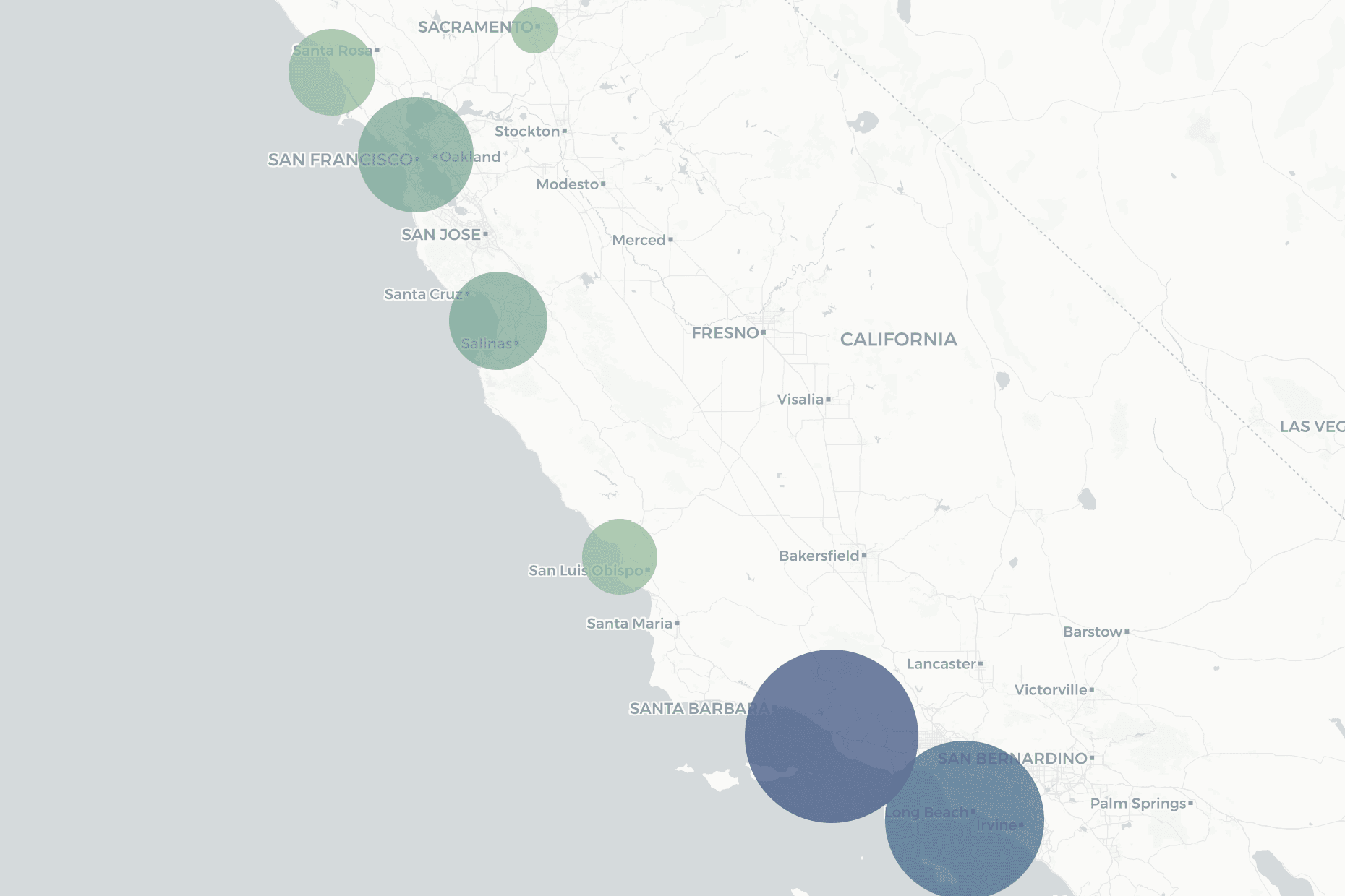
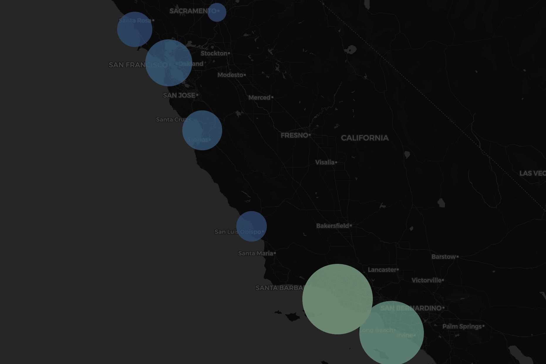
Map view showing commercial landings data by port

Landings Data

PacFIN, CDFW, and ODFW catch data with totals by state, port area, INPFC area, and CDFW blocks. View by year or month and filter by data source, species, and gear type.

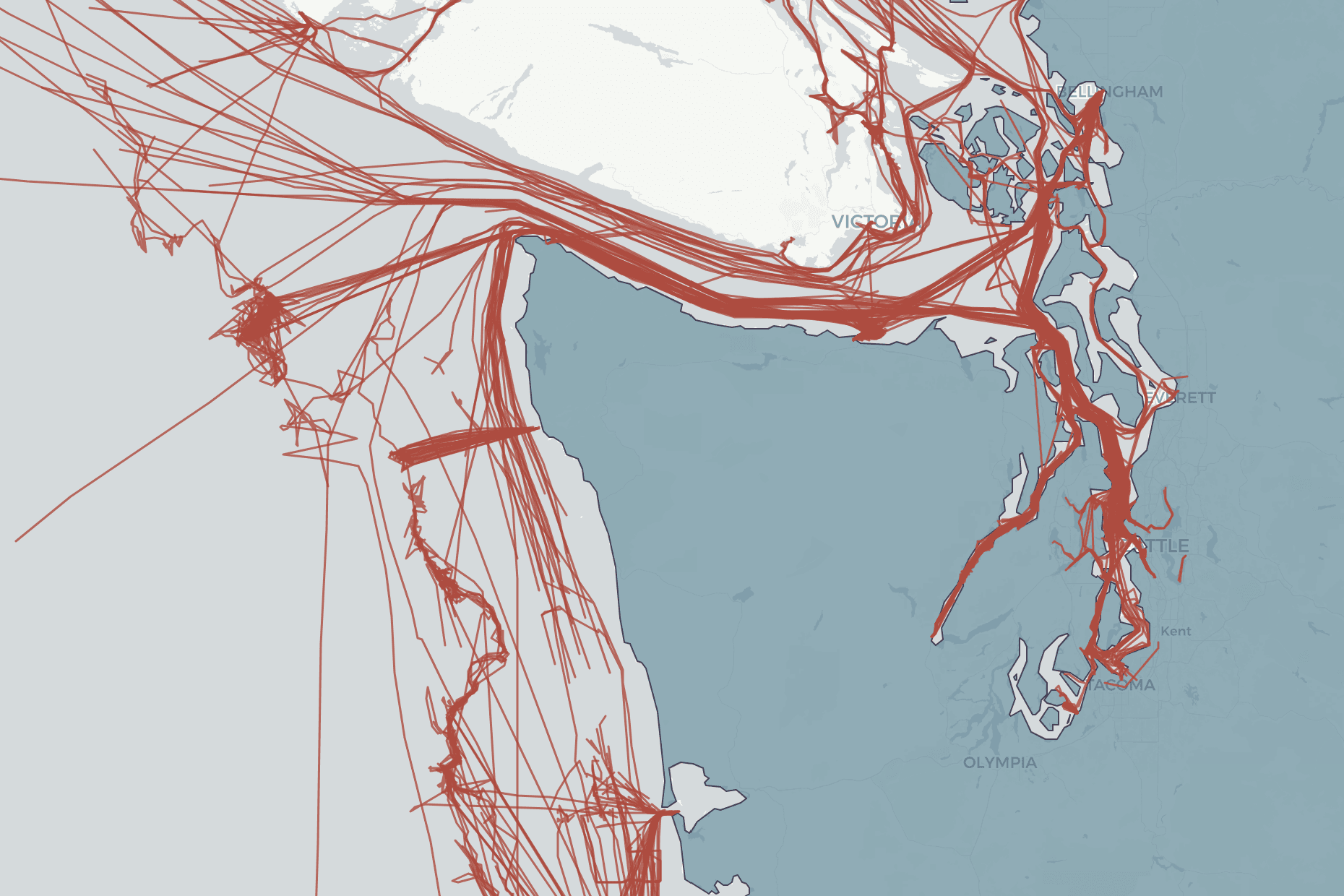
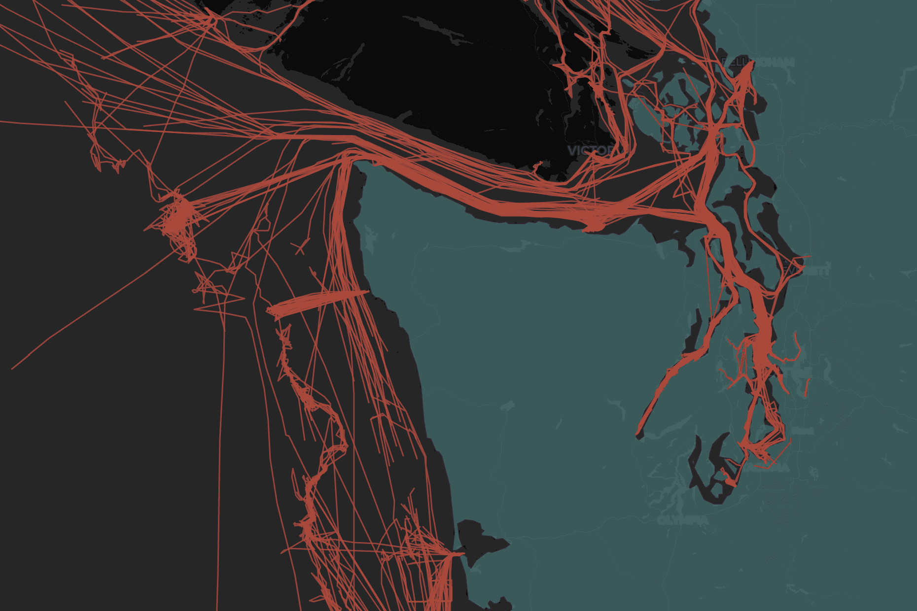
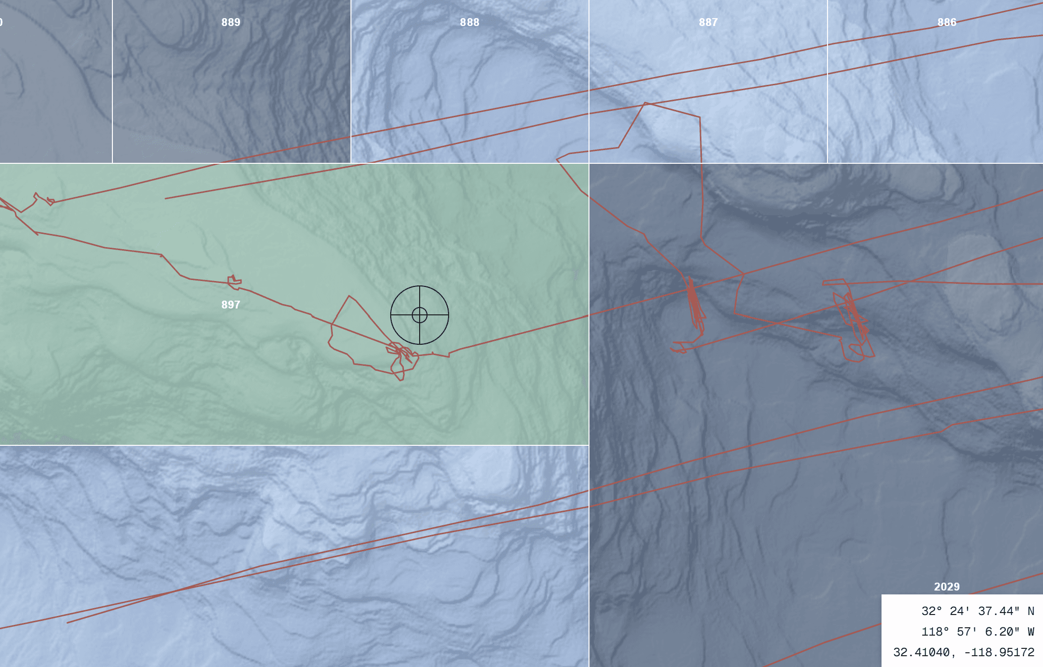
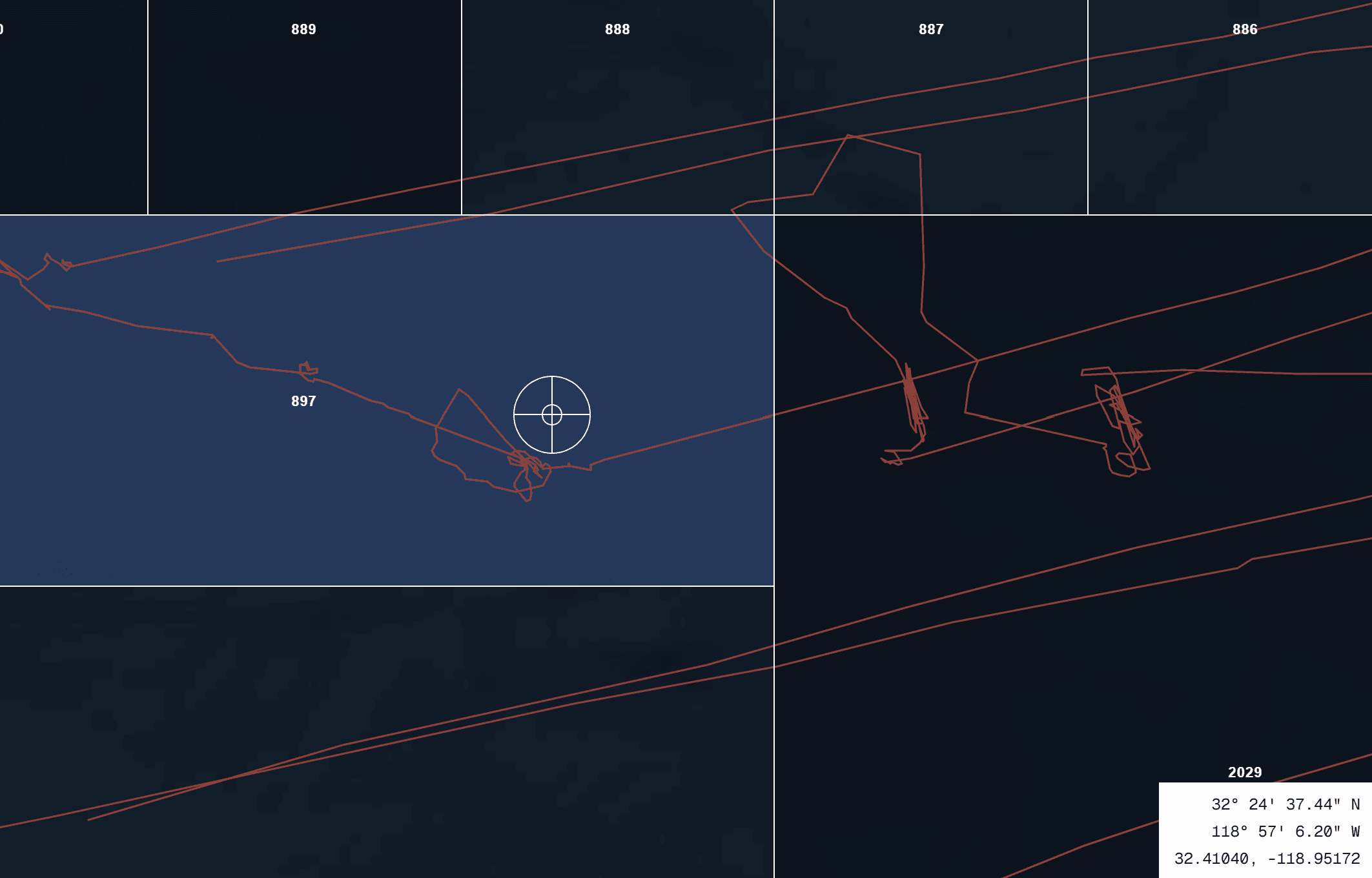
Map view showing AIS vessel tracks along the coast

Vessel Activity

Month-by-month views of recorded AIS tracks show where fishing vessels operated along the coast.

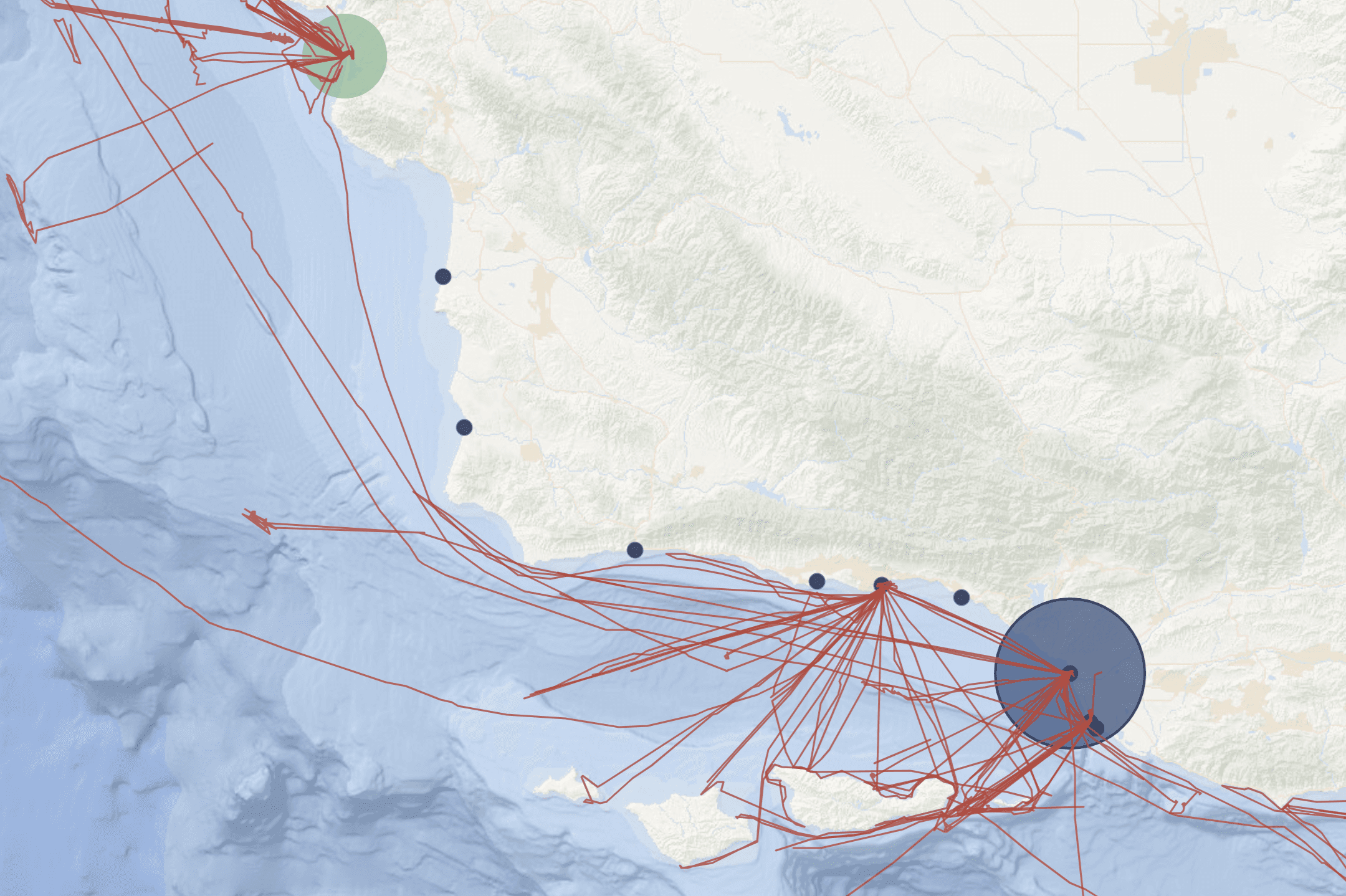
Map view showing port-level landing details

Port Intelligence

Mapped ports and harbors clarify catch records and enable tagging of AIS-tracked fishing vessels visiting the area.

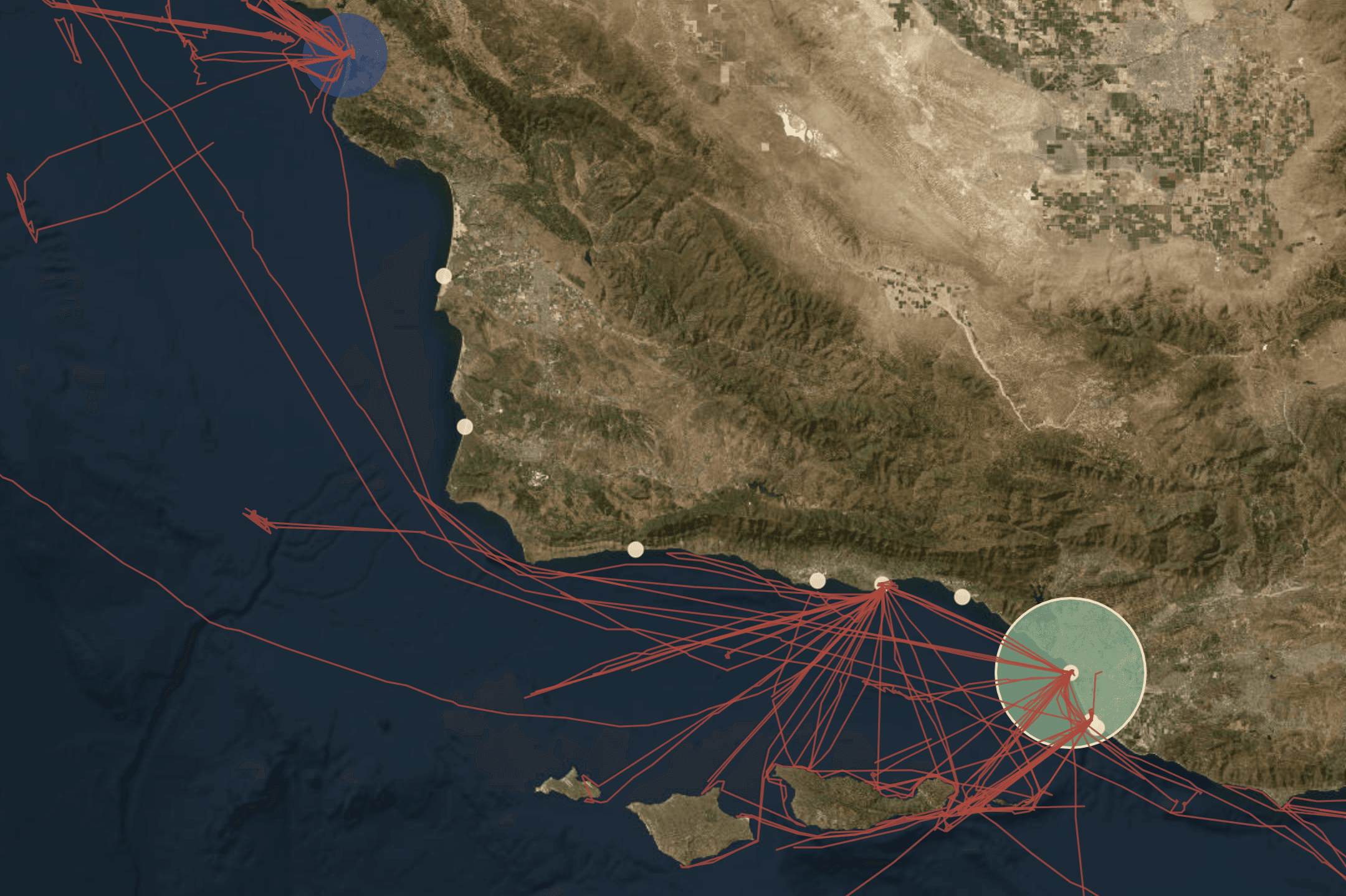
Map view showing block-level geographic detail

Geo Precision

Rich base maps and geolocated features pinpoint high-catch areas and favorable fishing locations.